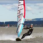
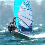
Mentioned this to a few in the carpark at Primbee yesterday. The Manly Hydraulics Lab have positioned a water level sensor in Cudgeree Bay (Windang end of the Primbee speed strip). I've been using it lately to judge what fins to use and what water state to expect. Based on sailing both days over the weekend and previous weeks I've made the following observations.
1. With the water level at the 0.15 mark I can use the shallows all the way to Windang at speed with a 20cm, 50 degree fin. I only need to be cautious around 30m from the shore line or at speeds below 20kts. It is difficult to beach start at this water level and I don't gybe at all. Water state is excellent, even with wind 30kts+.
2. Once the water level is at 0.2 I can gybe with the same 20cm fin anywhere along the strip. Others were using fins up to 23cm. Water state is still good.
3. Water level at 0.25, I can access the whole area with a 25cm weedie. You start to get steep chop in wind above 30kts.
4. Water level above 0.30 gives calf deep access across the whole strip, however, you get breaking chop in winds above 30kts.
Note that I'm talking about the shallow area at Primbee, less than 400m from shore (inshore from SS Lake-Log). further out than that is obviously deeper/safer/choppier/slower!!!
new.mhl.nsw.gov.au/Site-214416 (Click on Level 1)