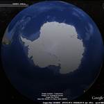
At last google earth has hi res pics of Macquarie island. I spent 1975 there. Windsurfing wasn't invented then. It is so windy. This lake in particular, fully exposed to the prevailing westerlies you get at 55deg south. There's barely a lip holding the water back from the cliff. Waterfalls often didn't hit the ground on this coast.
 Check out the island on Google earth.
The lakes are mostly liquid, only occasionally do they freeze over. It was only on a few days that we got a layer of snow covering the ground. Mostly drizzle. The island has a very narrow temperature range, an average of 3.2 deg C in july and 7.0 in January. The max we got for the whole year was +12 and the min -8 ? I seem to remember. It can be colder in Canberra in winter. Inhabitants take a traditional dip in the ocean mid winter.
I don't think it's easy for tourists to get there. The only accommodation is still probably just the base operated by the Antarctic Division.
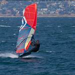
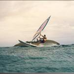
Our electrician took (smuggled) his surfboard down. Had a bit of a paddle on a rare still, sunny, summer's day, (the day it got to 12 deg C). Don't think he actually caught a wave.
I went there on the way back from Antarctica about 2 years ago.
Screw that you would literally have to scare away the penguins. Not to mention the elephant seals.